Introduction

In science, we need to conduct experiments and collect data in order to better understand the universe. In most scientific fields, our labs exist on Earth’s surface, and investigators can collect data directly on the phenomenon. In astronomy, our laboratory is the entire universe and we collect data by detecting electromagnetic radiation from extremely distant objects. To build conceptual models of the universe and how it works we must develop an understanding of the tools and the methods we have at our disposal. Because of the huge distances that are involved in studying the cosmos we also need a measurement system with units appropriate for measuring very large distances.

Another consideration for measuring astronomical objects such as planets, exoplanets, stars, and galaxies is that we must measure indirectly. We must make measurements remotely using instrumentation and methods specific to astronomy. This course leverages student sense-making by teaching students to extract data from images.

Sequencing

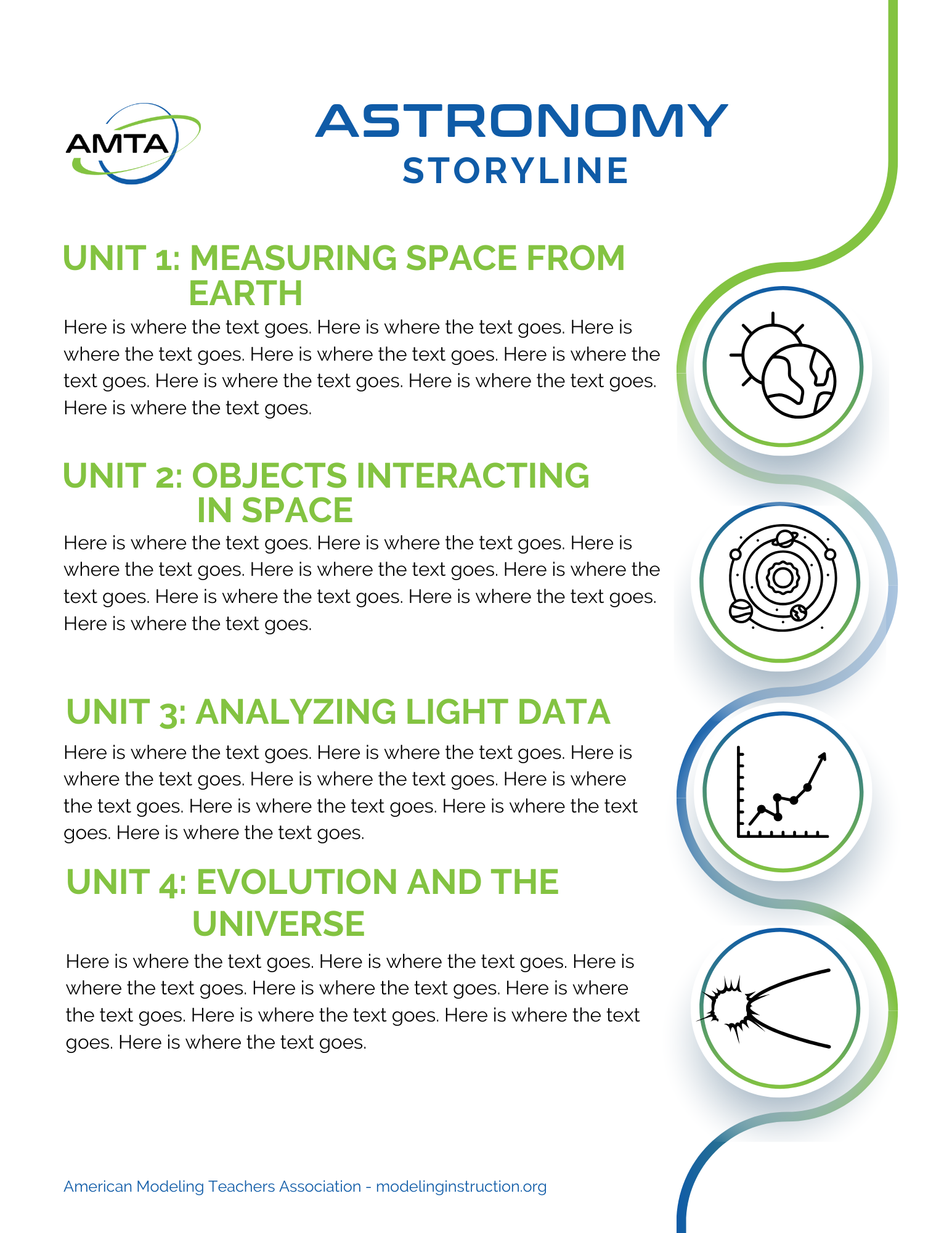
Unit 1:  How do we map & measure space from Earth’s perspective?

  1. Constructing a Map of Space
  2. Astronomical Image Analysis
  3. Using ratios and geometric methods to determine distance

Unit 2: How do objects interact in space?

  1. Motion
  2. Force

Unit 3: How do we know about objects and events in space?

  1. What is light?
  2. How do we gather and measure light?
  3. How do we use light to learn about objects in the universe?

Unit 4: Evolution and fate of the universe and the search for extraterrestrial life

  1. How do stars change over time?
  2. How does the universe change over time?
  3. The search for extraterrestrial life (SETI)

Sample Materials

Unit 1: How do we map and measure Space from Earth’s Perspective?

Section 1:  Making a map of space around Earth.

  • Understand cardinal directions in degrees, hours, minutes.
  • Use latitude and longitude understanding to help students understand right ascension and declination. 
  • Specify a fixed location in space from the moving object, i.e. Earth (using right ascension and declination). 
  • Understanding time as a dimension of space (spacetime) and constructing spacetime diagrams
  • Develop a coordinate system to specify the location of objects in the sky.

Interested in Astronomy Modeling?

Astronomy Modeling Instruction is available as an AMTA  Distance Learning course in Spring 2025.

First-time attendees qualify for a free one-year membership to AMTA. Members have access to ALL instructional resources, webinars, distance learning courses, and other membership services!

Contact Us

We're not around right now. But you can send us an email and we'll get back to you.

Not readable? Change text. captcha txt

Start typing and press Enter to search